
GEOSURV Services
Discover more about Geosurv’s services
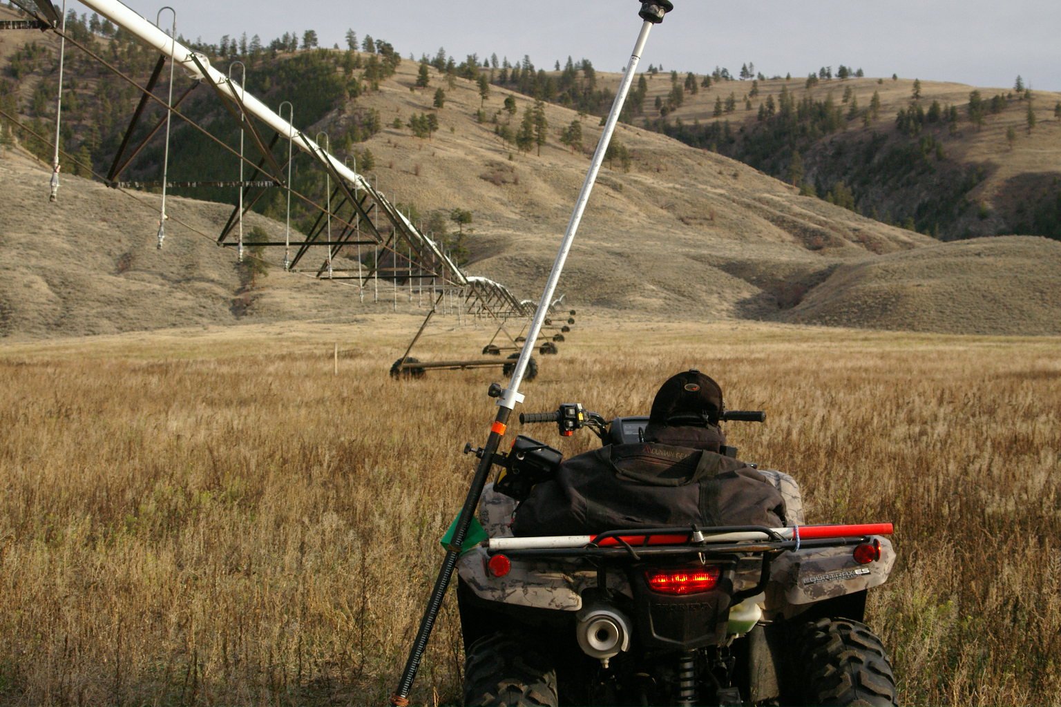
Surveying & Mapping
Conventional-GPS-Drone surveying
Site development services


Vineyard-Agriculture design and layout
Vineyard-Farm mapping, CAD design, and layout
Construction staking for post locations, irrigation, row ripping
Farm construction consulting
18+ years experience

Civil-Engineering-Construction
Site plans & as-built surveys
Road, building & utility staking
Geodetic elevation control


Topography Surveys
Custom site to product mapping options
Projects of any size or remoteness
Existing and designed surfaces and volumes
Aerial and Satellite imagery integration


C.A.D. and Drafting Services
Site plans, as-builts, surfaces, and volumes
Vineyard maps, design, and site information
Custom maps & precision farming data


Drone Operations
Precision farming utilizing Multi-spectral and Thermal imaging
Survey grade aerial mapping
High resolution Orthophotos
Marketing / Real estate photography & videography
Construction monitoring & progress reporting
